Category Archives: Travelogue

Life in Quarantine

In mid-January, I was grateful to have a chance to go home after almost a year. While it was a brief full-of-errands kind of trip, it was a fresh break. With strict health protocols and quarantine measure in place, I knew from the start that this would be one of the experiences that would be hard to forget. So I guess it might be of relevance sharing it here too.

Pre-departure

My scheduled flight was in the second week of January. The flight ticket was twice the usual price in the pre-COVID era. That’s quite understandable though since the airlines were operating at around half (or even less) their normal capacities. Before departure, Garuda Indonesia required passengers to take a COVID-19 PCR test 72 hours before the flight. This could be done at one of the hospitals/clinics recommended by the Indonesian COVID-19 Task Force accessible through the airlines’ website.

To go to Thailand at the time, we would need a Fit-to-Fly Certificate. This was basically a result of a health check-up which was done on the same day I went for COVID-19 PCR test at one of the designated hospitals.

I would recommend everyone who needs to travel during COVID-19 pandemic to take extra care in checking all documents two or three times. Not only will you find regulations of each country different, but each airlines also have their own small prints.

With documents and negative COVID-19 result in order, I tried to minimise my contact especially going into crowded places.

Surreal Atmosphere at the Airport

While the International Terminal at Soekarno-Hatta International Airport was not considered one of the busiest terminals, but during the time of COVID-19, empty would be an understatement. That said, please leave ample time for check-in. I guess the clerk at check-in counters had to check and re-check the documents and COVID-19 results to make sure of their validity. It took around 1 hour to check myself in and get a boarding pass.

After security, things looked normal enough. Seeing planes parked at gates was quite a reassuring sight. It was a signal that people could still travel from place to place. The number of people was probably fewer than 25 percent compared to a normal day before COVID-19 hit.

Bangkok bound

On the plane, only the window seats were occupied to allow distancing among passengers. I could hear a lot of disinfectant being sprayed (which was also reassuring for me). Food was served after about an hour. The only difference was that there were more packaging materials. And melamine cups were replaced with those made from paper instead. Otherwise, the food was as tasty as it could be in the air.

Three hours later, the plane landed at Suvarnabhumi International Airport. This was another surreal experience. Last year, when I was last home, people would flock out of the airplane quickly, to be blended in with passengers coming from other countries. This time round, people waited patiently to be guided out of the airplane in order. The gates were deserted. People in half and full PPEs greeted us.

At the time, Thailand imposed 14-day quarantine to all incoming travellers. There were two types of quarantine. State quarantine was a form of hotel quarantine free of charge for Thai nationals. This would be allocated to you upon arrival so you would not be able to choose which hotel you were going to. Alternative State Quarantine (ASQ) was also a form of hotel quarantine but with greater perks. Foreigners had to book Alternative State Quarantine and pay for themselves. Thai nationals may also choose ASQ and they also had to pay for themselves too.

I preferred to know where I would stay in advance. The availability of food choice was also something that I took into consideration. So I booked the Hyatt Place Hotel on Sukhumvit Road as my ASQ.

Those who booked ASQ were separated from the queue and there were people who came to check our documents. This was efficiently done within 2-3 minutes. We then proceeded to the health screening counter where the officials would ask whether we had any COVID-19 symptoms. They would check our health documents and COVID-19 test results. Following that, we would proceed to the immigration then to luggage claim.

After getting my luggage, those who booked ASQ would leave the airport at a certain gate. The representatives from the hotel would pick us up. As for me, there was only me from my flight who would go to the hotel. So I got the van for myself. I was told that normally, there would be 2-3 people sharing the same van to the hotel.

Accommodation for the next 15 nights

In 20 minutes, I arrived at the hotel. The check-in counter was located outside the building in open air. The check-in lady was wearing plastic cap and half PPE suit. I was asked to wear shoe coverings which were made of blue plastic material at all times outside of my own room. The total stay would be 15 nights and I would only leave the hotel on the 16th day.

Following check-in, I was asked to download a few applications to track my temperature everyday. I had to add an official nurse account on LINE messaging app as a way to report my temperature. After meeting with the nurse, I was escorted by a hotel staff to my room on the 17th floor. No key card was given. I would have COVID-19 PCR test on day 5 and 12. If my first result came out negative on day 6, I would be allowed to leave the room for 40 minutes a day starting from day 7. Cleaning of the room could be done starting from day 7 too. Food would be delivered on the table in front of my room 3 times a day. I could choose and order food from a Google form. The fanciness of food depended on the hotel and the price you paid. I would consider mine a mid range.
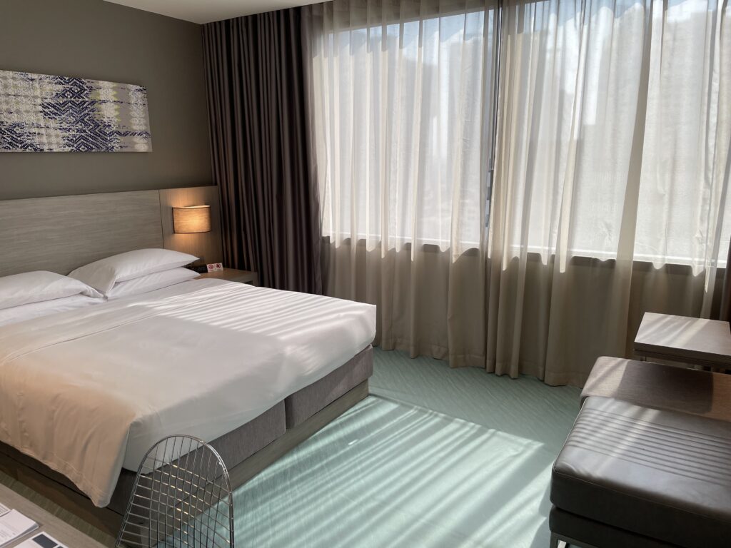
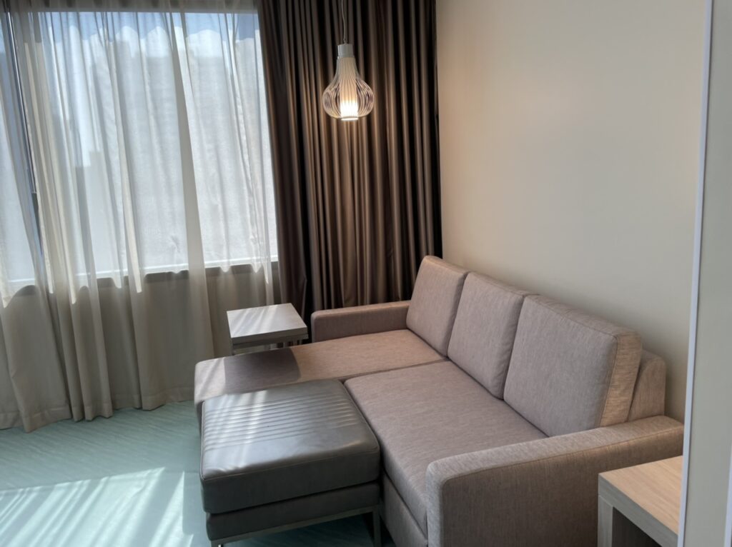
My room at the Hyatt Place Bangkok during quarantine. The carpeted floor was covered for hygiene reason.
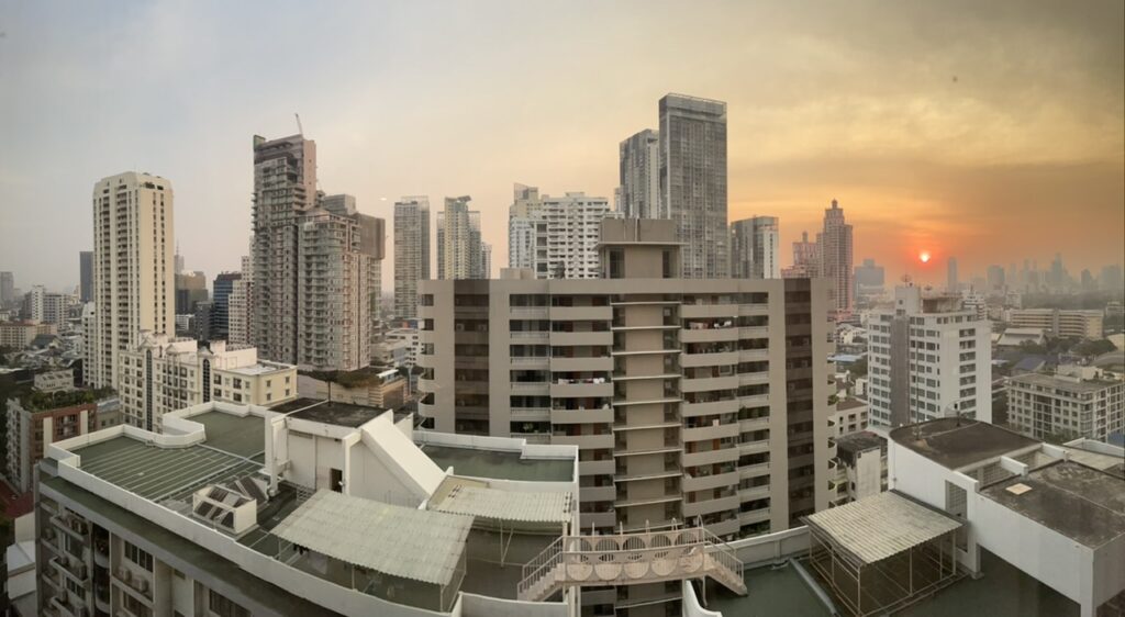
A view overlooking the heart of Sukhumvit district in Bangkok.

The overall experience was very good. The room was spotlessly clean. Mineral water was constantly refilled. There were plenty of soap and toiletries. As an introvert, I felt perfectly fine in quarantine with books to read and work to do. I really appreciate all the staff who accommodated my requests efficiently and on time.

On day 5, a nurse would contact me beforehand to let me know roughly of the time they would escort me out for the COVID-19 PCR test. When the time comes, there would be a knock at the door. Then they would take me to a separate lift up to the floor with swimming pool. The nurse at the counter would then check my name and led me to the testing site next to the pool. A screen separated me from the nurse who took my sample. Each time slot would be for one person so there was almost no chance of getting into contact with another guest who would come up for the test. I would then be led back into my room, all escorted.

On day 6, a nurse phoned me to tell the good news of the negative result. I could now book a slot to go to the rooftop for 40 minutes a day from day 7. I could also ask the housekeeping to clean my room on day 7, 10 and 13 (if I’m not mistaken). Basically I asked the housekeeping to clean when I went out to the rooftop.
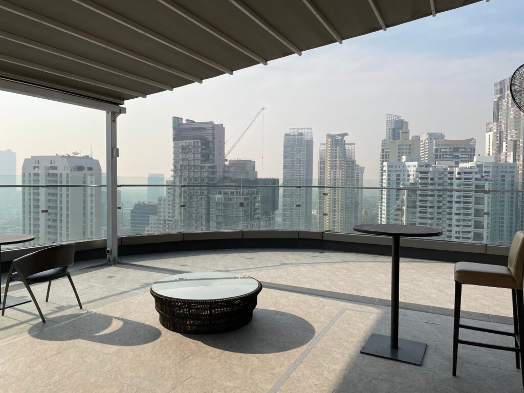
The rooftop which was normally a bar is now a designated relaxing area.

Each 40-minute slot can only accommodate 8 persons who would be asked to stay in the rectangular area marked on the floor. Mask was to be worn at all times in public area.

After 15 nights, I was released from quarantine. No doubt it was a long time but for good measure. Given the hotel’s good internet connection, I was not bored during quarantine. I also requested a yoga mat to keep up with my work out routine. Meals were provided three times a day with great punctuality. Staff were professional and they would run away when I opened the door quickly after they knocked. It gave me a lot of reassurance that they were under good management.

Before I left the hotel on the 16th day, I spoked to one of the hotel staff that I hope to see the hotel operating normally when I come back next time.
Wonders of the Lake

I became attracted to hiking or walking (in customary British English) when I was a student in the UK. It all started during A-level when I had a chance to join the Duke of Edinburgh Awards scheme in which we went on a practiced expedition to the Peak District. Although I did not complete the awards, the experience of hiking has impressed upon me since. At the outset, I have to declare that I am not a fan of tent and sleeping rough in the wild. But I am sure a fan of hiking. I even joined the Ramblers, a walking association during the last year of studies when I was undertaking a postgraduate course.

It was then that I realised I had not been to the Lake District, one of the top hiking destinations in the UK. And with everything else British, the weather governs your hiking experience. I once went along a local London hiking group to Thames Down Link. At the end of the day, we went along the gentrified town of Kingston-upon-Thames rather muddy.

So I decided to go to the Lake District when the weather was supposed to be at its best, in August. This was the first hiking trip that I went all alone.

The first thing I had to think about when deciding to go to the Lake District was transport. I heard someone said that the further away from public transport, the better the scenery. But as a student with limited budget, I had to contend with something in between (and later found out that this was not entirely true). After some preliminary researches, I pinned down Keswick, a town adjacent to Derwentwater, one of the lakes that make up the Lake District. I remember taking a train to Penrith and a bus to Keswick.

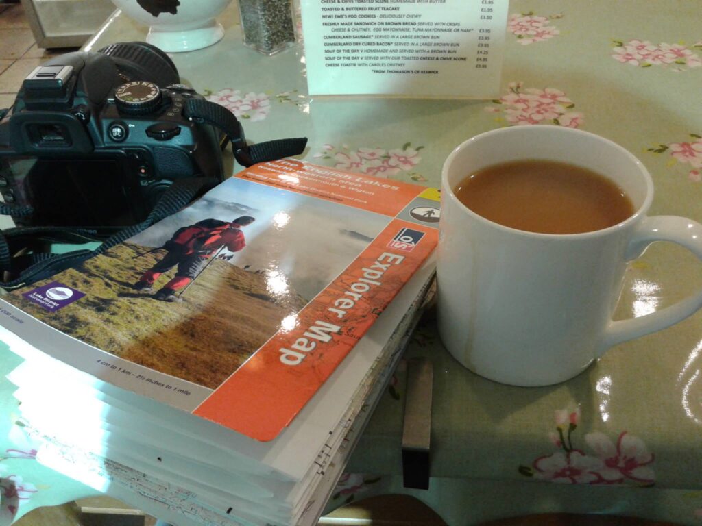
Upon arrival, I went round to the tourist office and bought a Derwentwater hiking guide and an Ordnance Survey map of the Northwestern lakes and the surrounding areas. It was a map that plotted every detail of civilisation, including a small and lonely hut on a hill. I have to say that such a map is an indispensable companion of a hiker. Once you get the hang of it, you will not be lost.

a royal ordnance map that proved to be immensely useful especially when walking alone

After having British comfort food in a pub (toad in a hole was my dinner if I’m not mistaken), I planned my hikes. Basically I would have one and a half day of hiking.

Latrigg

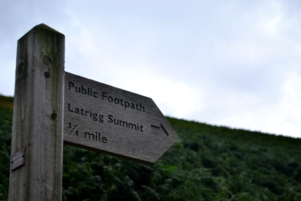
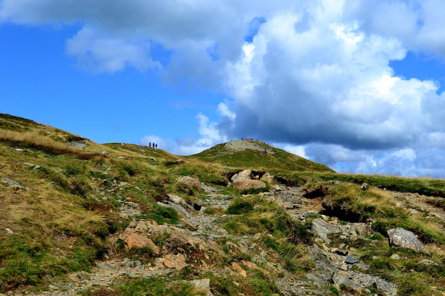
I woke up the next day and embarked on a walk to the Latrigg Summit. It was one of the lowest peaks that were easily reached in the Lake District area but with a beautiful view.

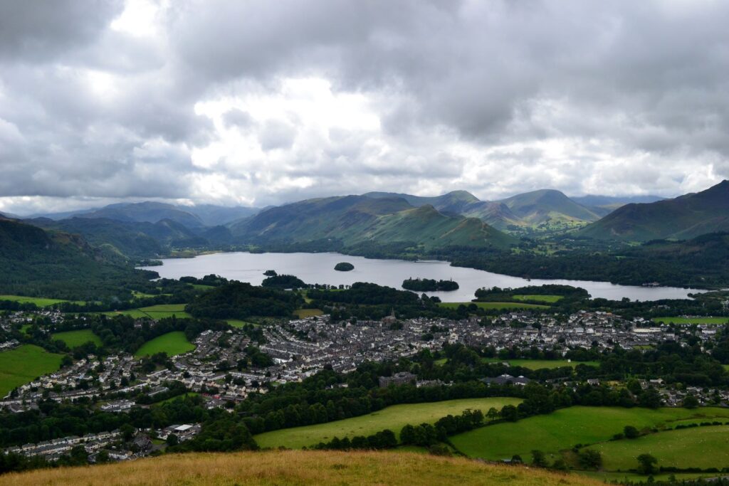
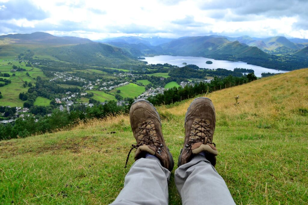
From the Latrigg Summit at 368 metres above sea-level.

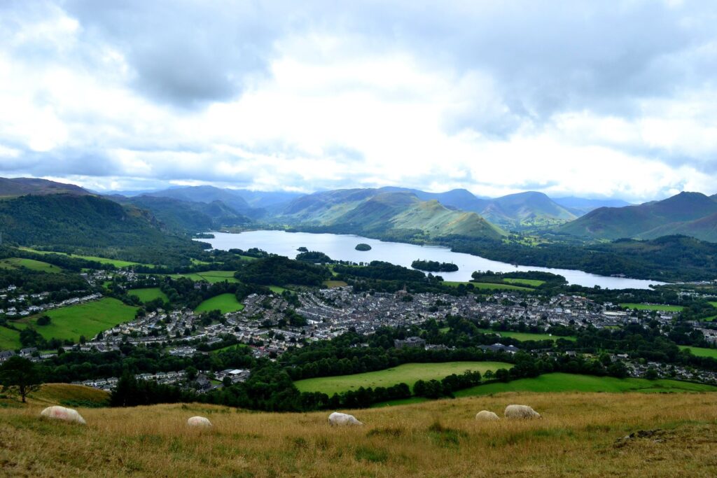
From the summit, Derwentwater would emerge into view, along with the whole town of Keswick. Tomorrow, I would walk this loop around Derwentwater, from Keswick and back.

On the way down from Latrigg Summit, I thought to myself that this was an easy walk. My energy was still not fully expended and I still had an afternoon free. So I quickly looked at the possible routes that I could go to on foot. I ended up walking to Castlerigg before heading back to town.

Castlerigg

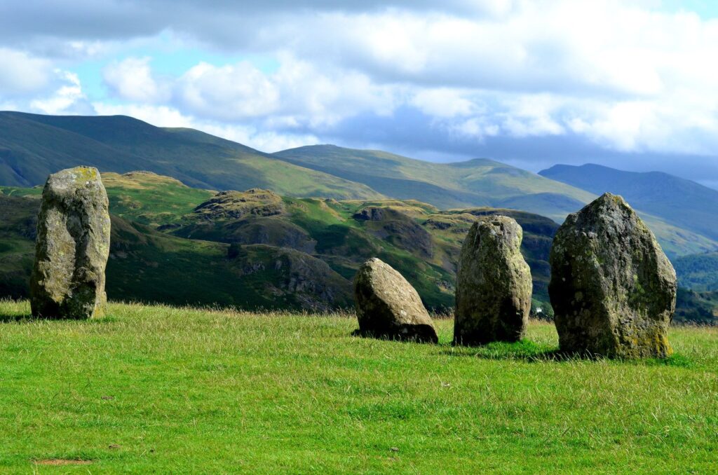
Although this was not in my original plan, this place was pretty interesting. The highlight was the Castlerigg Stone Circle. It is believed that the stone circle was erected at around the same time as the Stonehenge, making this one of the earliest stone circles in Britain. Hence an important archeological site. Throughout my time in the UK, I had never been to Stonehenge. So I take this as a good opportunity to be able to see the circle up close.

This remains one of my favourite photos. There actually were people around but I walked around (in a circle) to find a spot with a view.

At the hostel, I was pleased with the weather and thought that I could utilise another half-day to walk as much as I could. So I planned a rather ambitious walk around Derwentwater. I would walk from the town of Keswick to Grange, a village on the Southern end of the lake and back to Keswick on the other side of the lake via the Catbells peak. When I was planning the route, I did not think I would attempt to climb the peak as that would have taken too much time. I had to catch a bus to Penrith at one o’clock in the afternoon. Otherwise, I would miss the train connection to London.
Keswick to Grange

The next day, I woke up very early and packed everything. I would leave my luggage at reception, check out and come back to change before heading to the bus station. At seven, I was already on my way. The first part of the route was easy enough to follow, just walk along the lakeside. Towards the end though, the map became very useful.

I would be walking back via the other side of the lake later on.
Towards the end of the lake.

When I reached the end of the lake, I stopped for tea at a cafe in Grange village. I was on a tight schedule, so I walked on after a brief break.

Here comes an even more ambitious attempt when I was walking back on the other side of the lake. I saw people coming down the Catbells peak. Many were much older than me and I could see the peak from below. It could not have been far away. Just a few steep climb and I should reach the peak, the view from the top should be really nice, I thought to myself. After about 15 minutes of steep climbing, I felt out of breath. I asked a few people who were coming down whether I was getting any closer to the peak. They all said “you are nearly there”. I rushed to climb up and when I reached some sort of plateau, I thought that was the summit. But it was not. It appeared that there were many false summits before the actual one. I was really out of breath as I kept looking at my watch. I had only minutes to spare. Otherwise I would miss the train to London and that was too much a risk. My heart was beating really fast. In a split second, I feared for my health. With much regret, I had to say goodbye to Catbells summit and walked back down. I walked in a hurry throughout the rest of the walk. I got back to the hostel, changed, and got to the bus station in time.
I had passed many summit-looking hills before I took this photo. I did not know whether that peak I see further afield was the actual summit. But I had no more time. I left Catbells after taking this regretful photo. Hope one day, I could go back with more time to spare.
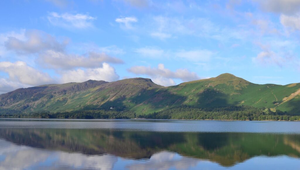
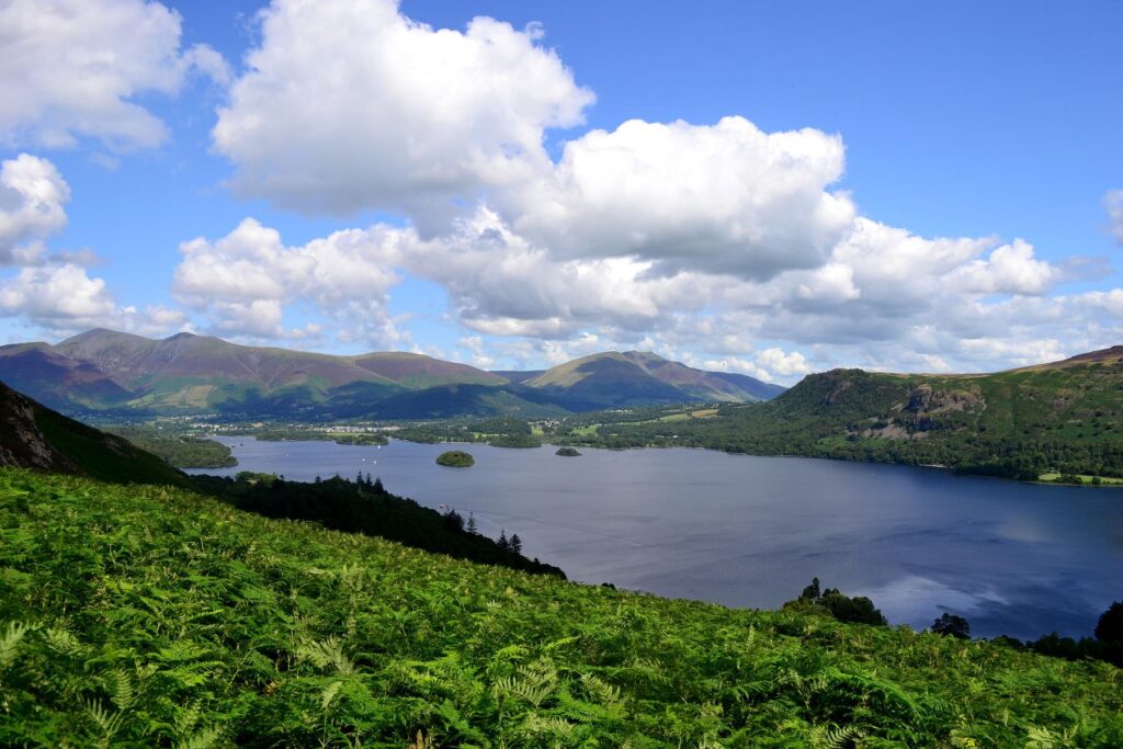
Derwentwater from Catbells shoulder.
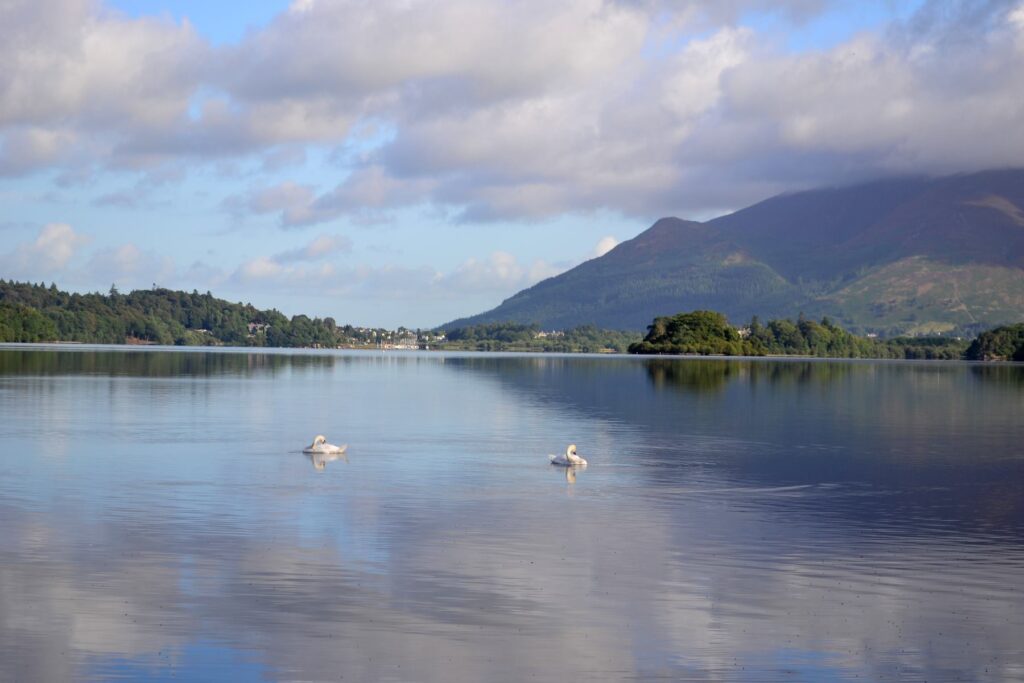
Another photo of Derwentwater.

It taught me a big lesson – do not overestimate yourself. There are times when things may not go our ways. And that’s just the way it is. Be realistic. If the main goal (i.e. walk the walk and not miss the train to London) was reached, then that was good enough. In fact, the journey, in many circumstances, is more important than the destination.

The trip became one of my most memorable trips of my life. In that half a day when I walked around the lake with an attempt at climbing Catbells peak, I walked a total of 14 miles or 22.4 kilometres.

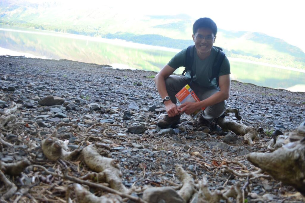
I did attempt to take a selfie with my Nikon camera, and this photo will tell you why I should work on my skill a bit more.

Top of Java

A few days back, Facebook reminded me of one of the most rewarding trips I have ever taken. It’s been two years since I and my two good friends climbed the top of Java.

It was a trip that had been planned many months in advance but to a different destination. Originally, our plan was to climb Mount Rinjani, an active volcano, in Lombok, known for its beautiful view from the summit overlooking the crater and Anak Rinjani (the small Rinjani, emerged from of an eruption many years earlier). The major earthquake in Lombok in 2018 changed that. We were 2-3 weeks away from travel when earthquake occurred. There was a landslide that affected the path to the top of Rinjani so we had to change our plans.

While we did deliberate whether to ditch the plan to hike altogether, we felt that since we had done some preparations (including doing multiple sets of squat a day), we would go ahead with hiking but to a different mountain of similar character. Mount Semeru, another active volcano, came to mind. At about 3,600 metres above sea level, Semeru is the highest mountain in Java. We would get the same experience of climbing a volcano as if we would have if we had a chance to climb Rinjani especially the last non-vegetation section that I will elaborate in a bit.

We proceeded with changing our tickets. Luckily, in the end, we got all our money back, partly in flight credits. For our new destination, we stopped over at Kuala Lumpur before taking another flight to Surabaya. We paid a private tour company for the guide, porters, meals and accommodation while trekking. This basically meant everything apart from accommodation in Surabaya and flights to and from Indonesia. Having spent the first night in Surabaya, the next day we went to Malang. We met our guide who then transported us and our belongings on a jeep. We were on the jeep for about one hour. When it stopped, we were on the highlands. The weather turned chilly. It was mid afternoon and we went a small clinic for the quickest of the brief health check-up. Having obtained the so-called health certificate, we set off to the last village with mobile phone signal before the real trek began.

Upon arriving at the village, we were booked in a small guesthouse behind a shop. It reminded me of my boy scout outing and my military service. It had running water and separate beds but not what we can call comfortable. But I should not complain since our guide and porters were sleeping outside in their sleeping bags under the roof without any mattresses. Before we went to bed, the lady who worked at the shop cooked us some dinner. In retrospect, it was a restless night. It was pretty cold, probably around 8-9 degrees in the middle of the night and the blanket was very thin and almost did not help at all.

When morning arrived, we washed, had breakfast and set off at around 8 o’clock. I sent some messages home basically to say that I would not be contactable for another 2 days.

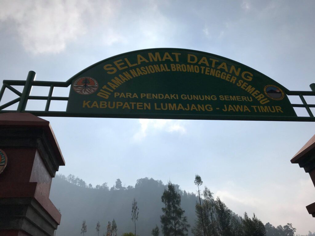
Passing this gate and all mobile phone signal would be gone. Our trek began here.

We had a nice flat terrain for about 45 minutes to 1 hour. At the first pitstop, there were people selling instant noodles, coffee and cigarettes. After that first pitstop, we would just walk and walk. Our guide was not a quick pace hiker but he rarely stopped. Our porters already went beyond us. Apparently they would need to go before us to set things up when we reached the resting points.

The picture was taken just after we passed the gate. The last moment of flat terrain.
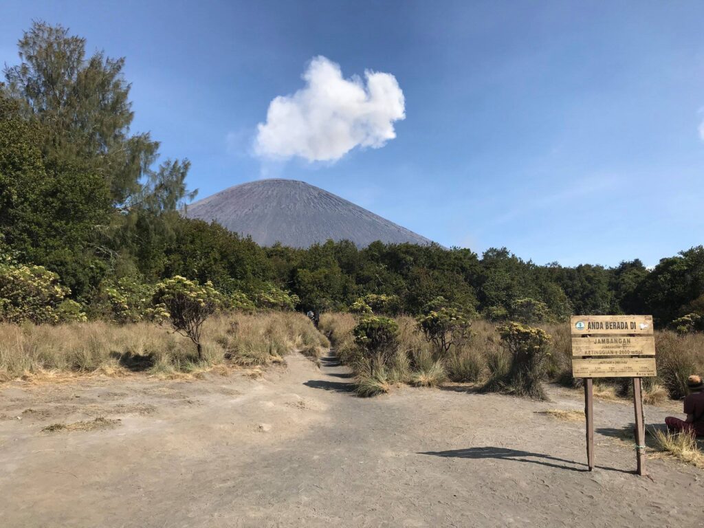
From afar, the summit of this volcano was where we were heading.

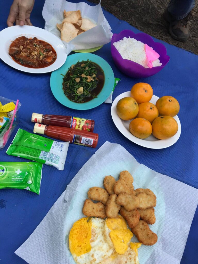
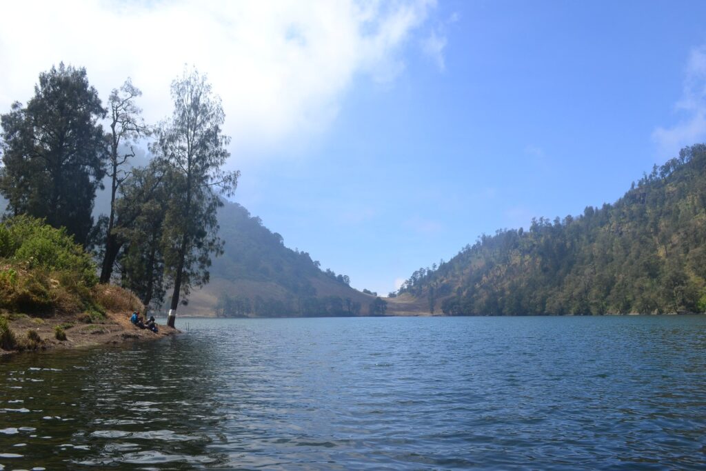
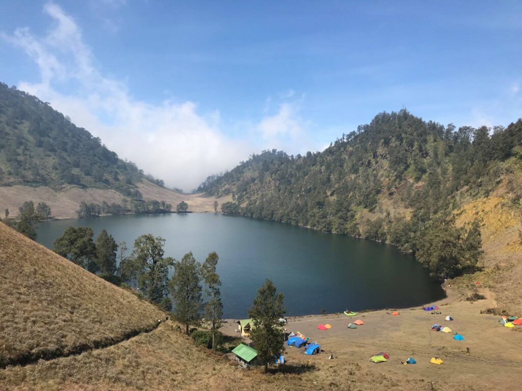
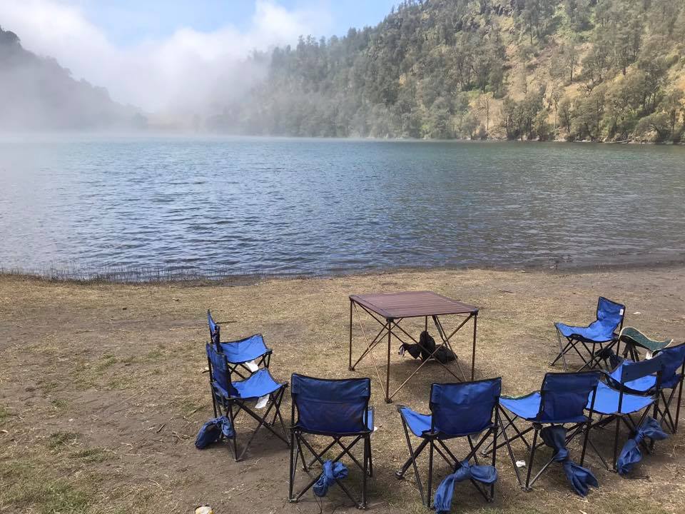
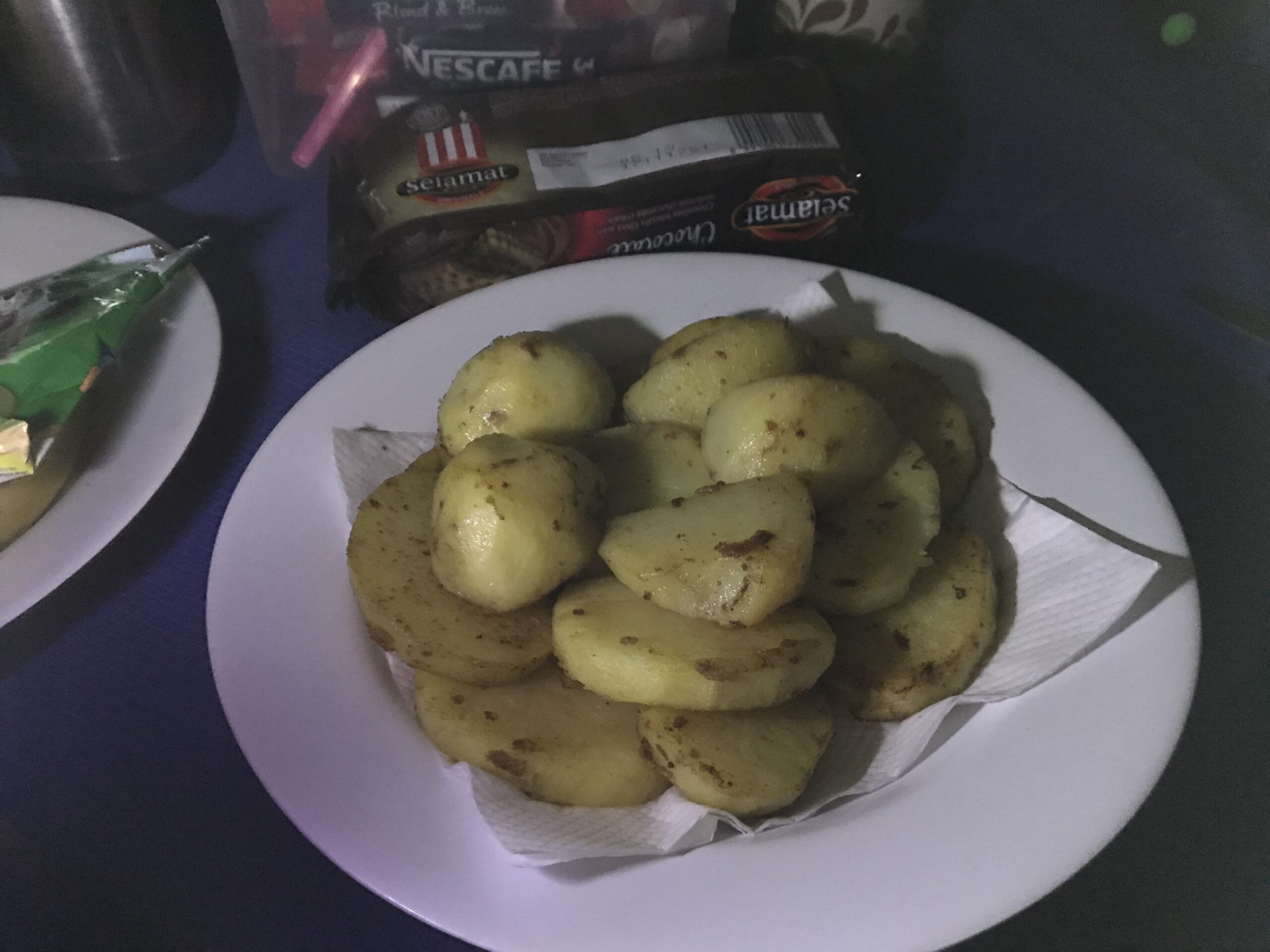
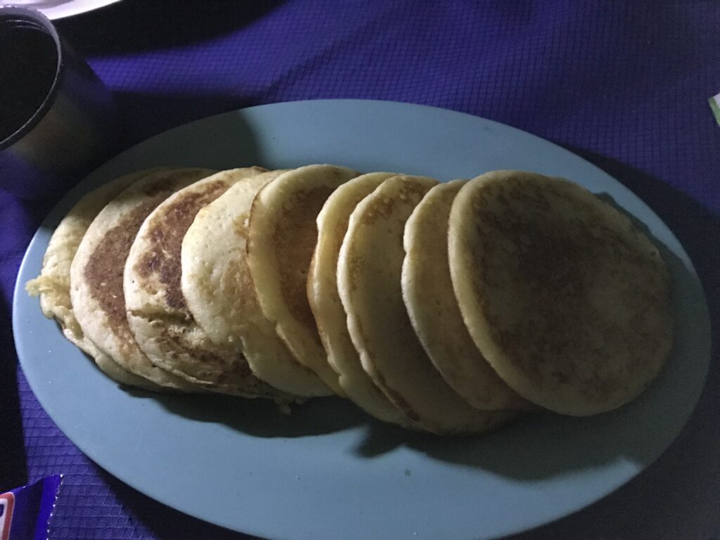
We stopped for lunch at Ranu Kumbolo or Lake Kumbolo. It is quite a picturesque place to rest. At this point, I realised that each company that does the trekking packages had different characters. Whenever we reached the rest stops, we would always see chairs being laid out for a group of trekkers. They would have their own toilet and shower tents. We did not have those but we had a separate dining tent, basically an empty tent with a battery-powered lamp where we would eat together. We sat on the floor with a mat but our specialty was food. I learned later that our guide had his own little cafe in Malang and he liked cooking. So our food had never failed us. Ranu Kumbolo was the last place before the campsite and the volcano that had fresh water. So our porters cooked chicken here so they did not have to carry the raw meat into the trek which would risk it going bad. They filled up our water supplies. Then we set off again.

Our food at Ranu Kumbolo
Our guide
Ranu Kumbolo, the last stop with freshwater.
Ranu Kumbolo
Unfortunately, these were not for us…

After around 7 hours of continuous hike, we arrived at the campsite in good time. It was around 4 o’clock in the afternoon. Our porters rushed to set up tents and cooked dinner. From here, we could see and hear volcanic eruptions of the very volcano we were about to climb. After dinner, we went to sleep at 6.30 pm. We would have to wake up at midnight to begin our climb at 1 o’clock in the morning in order to reach the summit before sunrise.
This was the path that led to our campsite. Yet from this point, it was still a good two-hour trek.
The Kalimati Base Camp – Since there was no public toilet, you may want to watch your steps at night…
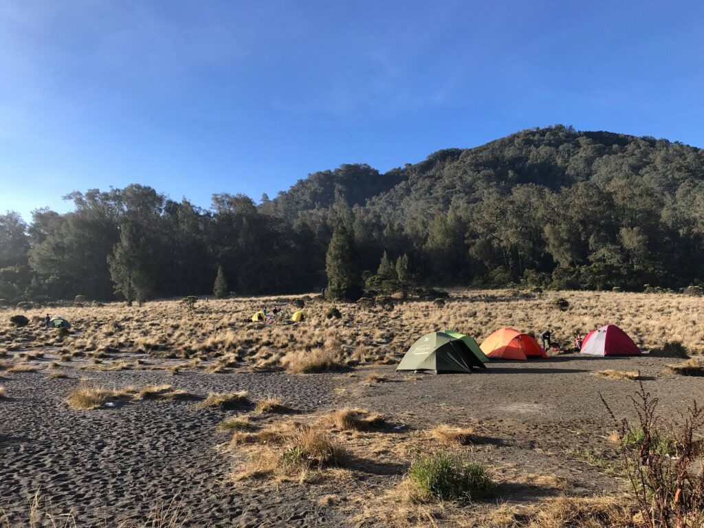
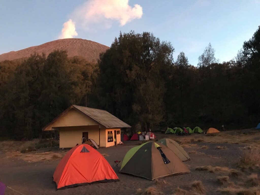
Our three tents. One for dining. From here, we were able to see and hear volcanic activities of Mt.Semeru very clearly. The four green tents you see near the tree line belong to the more privileged trekkers with chairs. Also, do not get distracted by the hut. It had nothing there. It was shared by porters to prepare food.
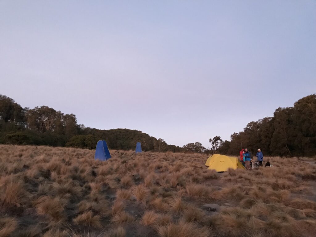
Some trekkers had their own toilet and shower tents.

Alas, I did not get any sleep that night. I laid awake the whole time. It was the feeling of being so close to the volcano yet I did not know whether I would complete the trek. I was worried about accidents that may happen. There were stories, although quite rare, of people who died climbing. It was my first time to climb above the cloud so I did not know how the high altitude would affect me. In any case, at midnight, we got up and ate our ‘breakfast’.

The trek from the campsite up to the summit is arguably the toughest. Compared to Rinjani, the trek we did before the campsite was easier than Rinjani’s but the trek up the cone of the volcano was similar according to those who have been to both places. We began our trek at one in the morning, right on time. Thirty minute into it, our guide announced that we had reached ‘last vegetation’. In general, this meant there would be no trees and we were reaching the cone of the volcano. In terms of trekking experience, it meant hell. Every step we climb, we would fall two steps back. The climb would be almost impossible without hiking sticks. The air became thinner and I might have suffered a bit from altitude sickness. I asked to rest a few times and my rest became more frequent closer to the top. Yet we did not stop for long. We continued to climb and only when we reached the summit that we realised that we were the first group up!

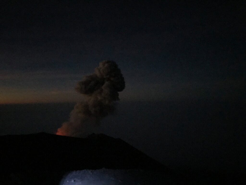
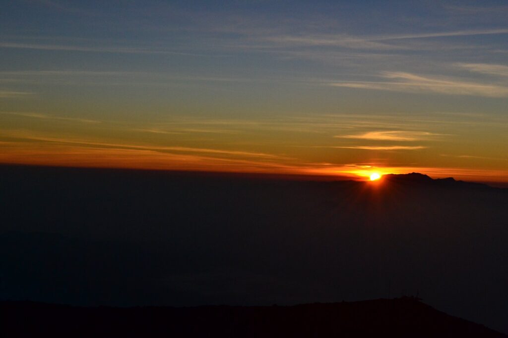
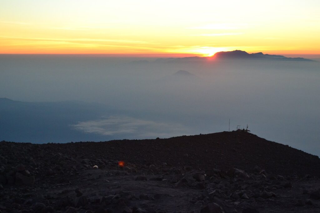
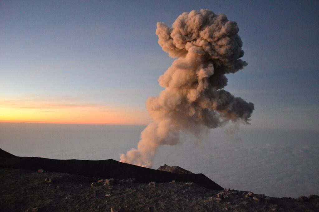
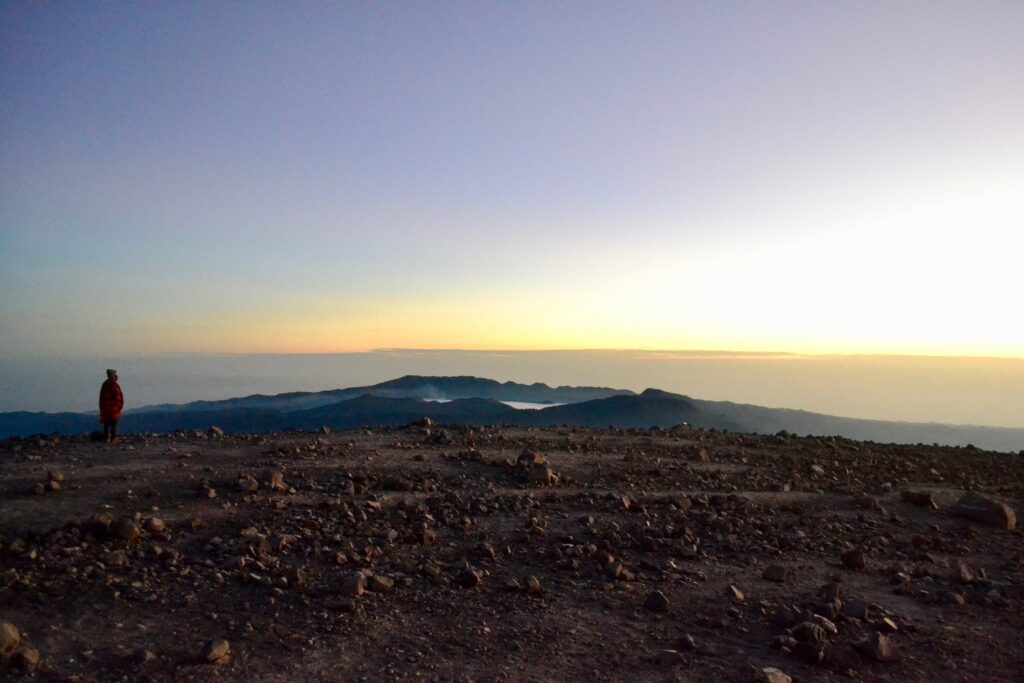
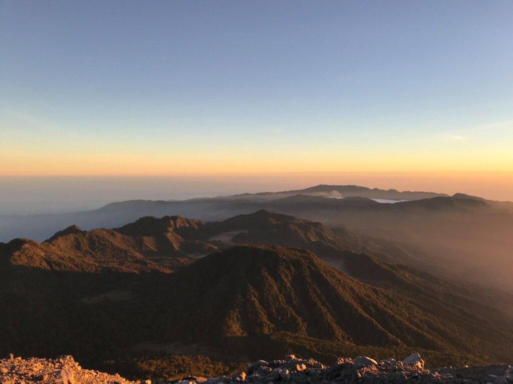
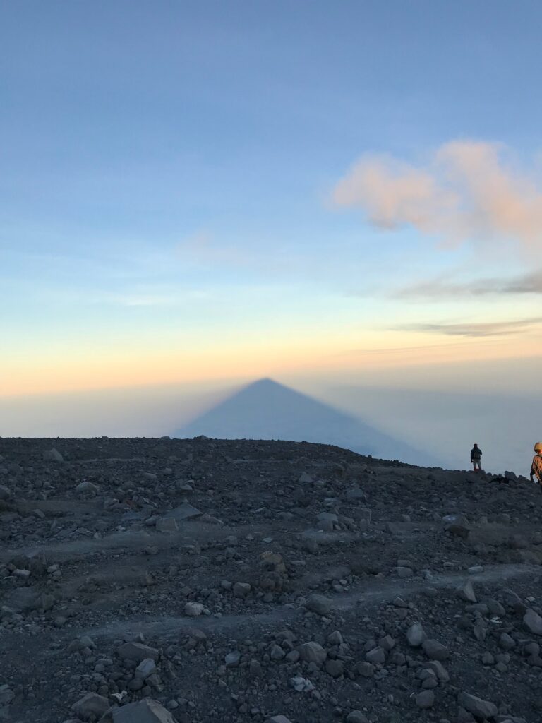
The great roar of a volcanic eruption greeted us when we were up there. Apparently, the Semeru hike can only be done from one side of the volcano since the other side would be too dangerous due to fresh lava and smoke. It was really active. An eruption occurred every 15-20 minutes. Our guide also told us that it was dangerous to inhale the air after 11 o’clock in the morning because the wind would blow smoke this way. That was the reason for the climb to start before dawn. Our guide prepared us hot chocolate while we waited to see the sunrise. We were very lucky with the weather and when the dawn came, the view from the top of Java was absolutely amazing. It was impossible to capture it all in photos. Such feeling of elation and accomplishment was topped up with the view above the clouds.

First sight of lava and smoke from the summit.
First light
Above the clouds
An eruption
Top of Java
Towards Mt.Bromo
The shadow of Semeru
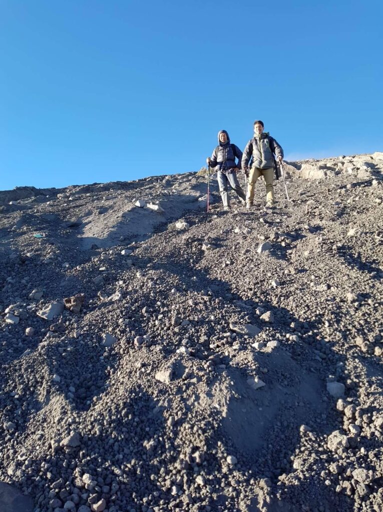
Coming down was easier.

We made our way down before seven. The way down was so much quicker as all we did was literally sliding down. By half past eight, our guide was handing each of us a can of coke to celebrate our climb. We had about an hour to rest and pack our belongings. We would have to make our way back to the village, then to Surabaya within a day. We walked back the way we had come. Stopped to have quick lunch also at Ranu Kumbolo. We reached the village at around 5 o’clock. The jeep then picked us up and we reached Surabaya at around 8 or 9 o’clock in the evening. Technically, this was the day when most walking was done. Since we were up at midnight, start hiking at one. Then almost non-stop, we walked till 5 o’clock.

It was really a rewarding experience. And I owe this to my two travel and trekking companions. They are among the best travel buddies that I could have hoped for.

Trekking in style.

Till we climb again!